 HuntGrid
Rivers
River flows for fishing: is it fishable today?
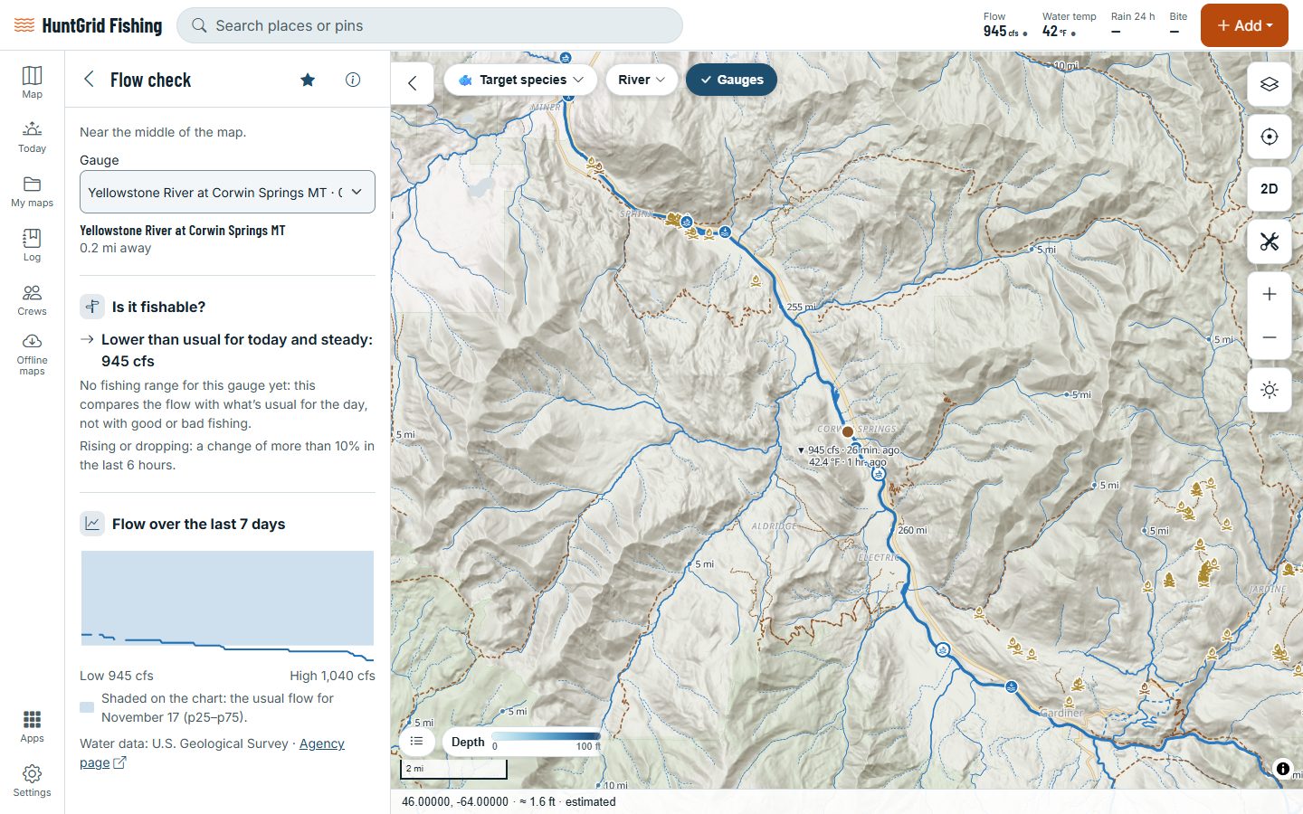
Tap a river gauge to see the flow or level now, and how it compares with normal for the date. Set the range that fishes well for you, and one plain sentence tells you whether it’s in it today.
Map data © OpenStreetMap contributors, © OpenMapTiles; terrain: Copernicus WorldDEM-30 (credits)
Know before you drive
Live gauges
Flows and levels from government gauges: USGS in the US and the Water Survey of Canada.
Normal for the date
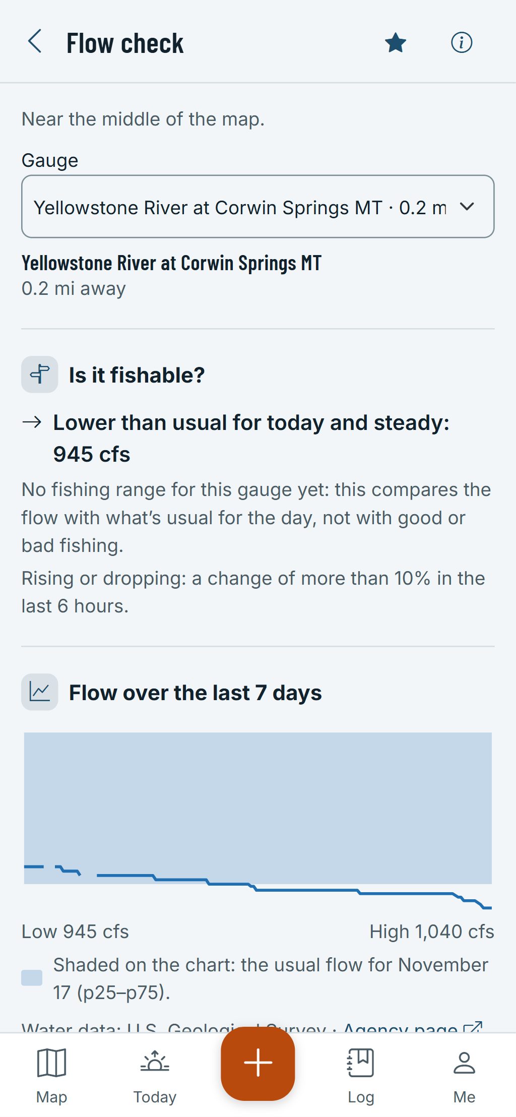
Each reading is compared with the gauge’s history for that time of year, in plain words like “Low for mid-October”.
Your range that fishes well
Set the flow or level that fishes well for you on any gauge, drawn as a band on the chart. No agency publishes one for the popular rivers we checked, so we don’t make one up.
Is it fishable?
A plain answer from the flow, its trend and your range. Without one, it compares with normal for the date only and never calls the river fishable.
Water temperature and more
Water temperature, dissolved oxygen and turbidity where the gauge measures them, marked provisional as the agency marks them.
River forecasts
Official forecasts where the US National Weather Service issues them, and model flows for ungauged streams, labelled as a model.
Reservoirs and releases
Reservoir levels against normal pool, and the release below the dam, for Corps of Engineers and Bureau of Reclamation lakes.
Map data © OpenStreetMap contributors, © OpenMapTiles; terrain: Copernicus WorldDEM-30 (credits)
Your rivers
Your river, your numbers
Every river fishes differently, so keep your own range for the gauges you watch.
- Set the flow or level where your river fishes well. It’s saved to your account and syncs to every device.
- The chart shows your band beside the reading, and the sentence uses it.
- Recent readings are provisional until the agency approves them, and the gauge sheet says so.
- Gauges in England, Germany and France too.
Rivers rise fast after rain and dam releases: check the water and the weather before you wade or float.
Questions
Still have a question? Read the HuntGrid Fishing help pages or email support@huntgrid.net.
What is a fishable flow?
The range of flow or level where a river can be waded or floated and fishes well. It’s different on every river and few agencies publish one, so HuntGrid compares each reading with the range you set for that gauge, or with normal for the date when you haven’t set one.
Can I set my own range?
Yes. Set the flow or level that fishes well for you on any gauge. It syncs to your account, and the chart and the fishable sentence use it.
Where do the readings come from?
From government gauges: the US Geological Survey and the Water Survey of Canada. Recent readings are provisional, as the agencies publish them.
Your next fishing trip starts on the map
Create a free account and open HuntGrid Fishing in your browser. The same account works for HuntGrid Hunt.
Already have an account? Sign in