 HuntGrid
Tides
Tide charts that work offline
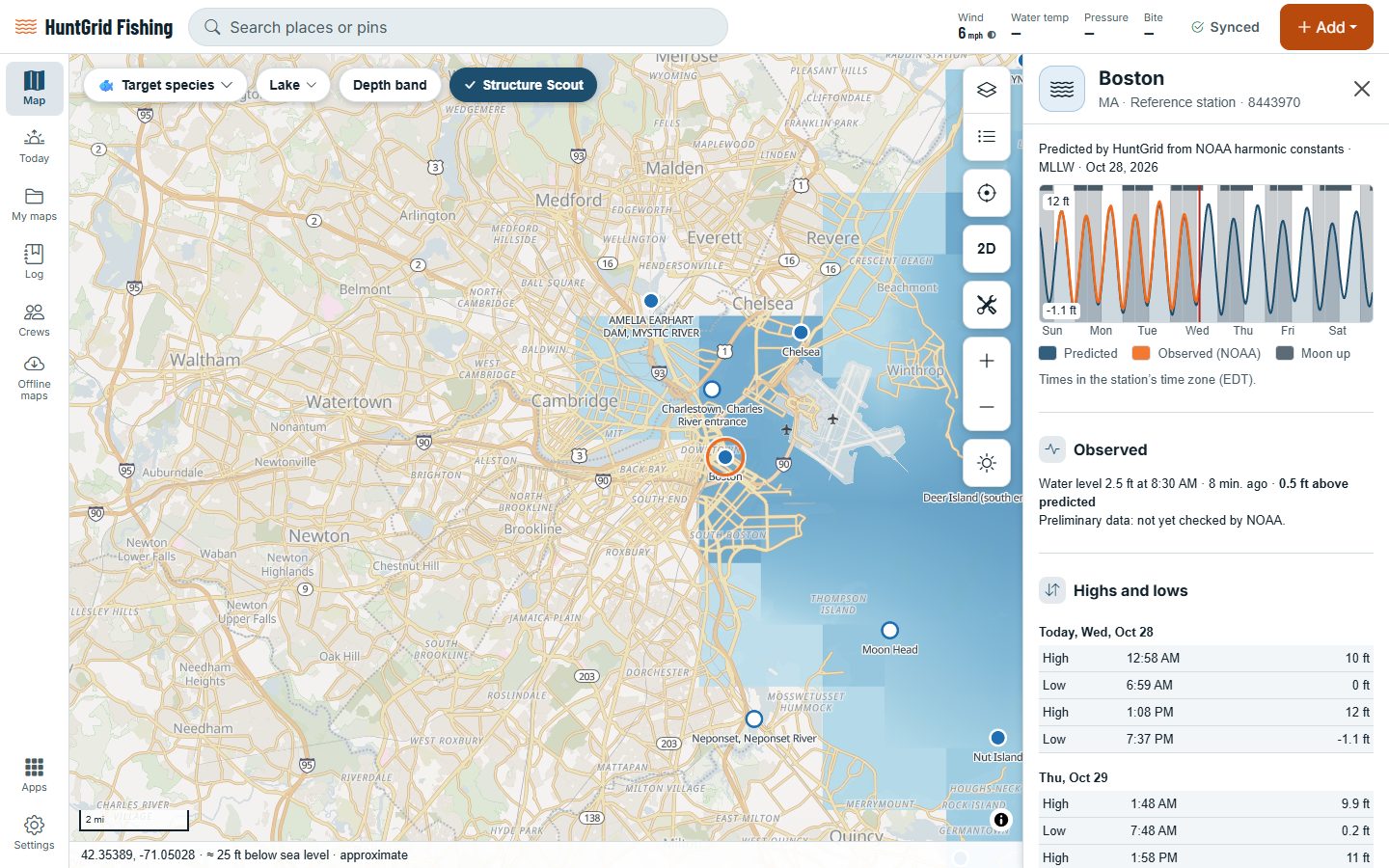
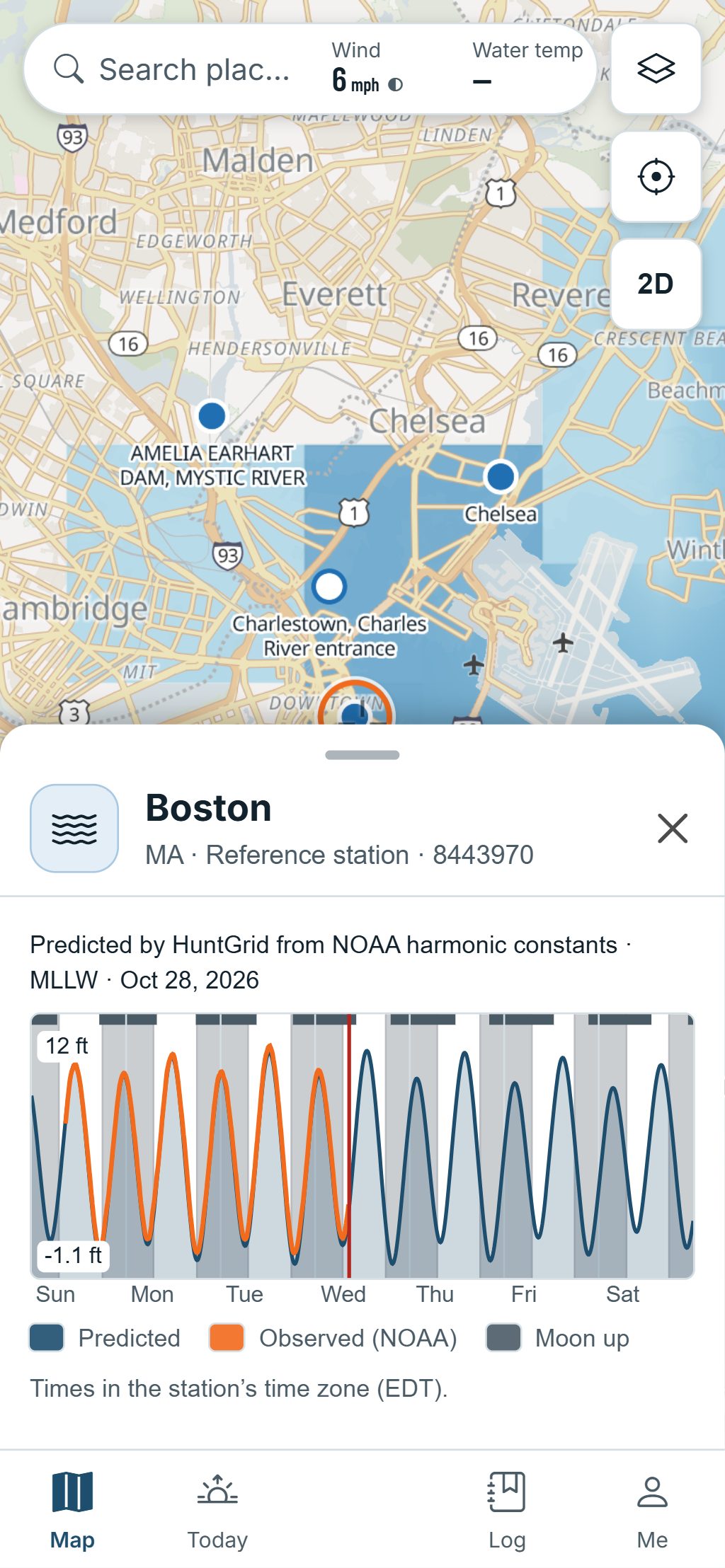
Open a tide station to see the curve from three days back to three days ahead, every high and low, and the water level actually measured. The tide is worked out on your phone from the station’s tide constants, so it keeps working with no signal.
Map data © OpenStreetMap contributors, © OpenMapTiles; terrain: Copernicus WorldDEM-30 (credits)
The whole tide on one sheet
US tide stations come from NOAA, with the constants and offsets it publishes.
Tide curve
The curve for today and three days either side, with the sun and moon on it.
Highs and lows
A table of every high and low tide with its time and height.
Observed vs predicted
Where the station measures the water, see how far it sits above or below the prediction, and the water temperature.
Tide clock
The stage of the tide and the time to the next high or low, at a glance.
Currents
NOAA current predictions, with arrows on the map scaled by speed and the slack windows.
Tide on the depth
Where the datums match, the depth readout adds the tide: “charted 3 ft + tide 2.1 ft”.
Map data © OpenStreetMap contributors, © OpenMapTiles; terrain: Copernicus WorldDEM-30 (credits)
Offline
Worked out on your phone, for any date
HuntGrid computes each prediction from the station’s tide constants, with the same harmonic method the agencies use.
- Stations already on your phone keep working with no signal, for any date.
- Tested against NOAA’s own predictions at 20 reference stations: within 3 cm (about an inch) and 2 minutes for highs and lows.
- Smaller stations use their published offsets from a reference station.
Tide predictions aren’t for navigation. Wind and air pressure move the water too: compare with the observed level.
Questions
Still have a question? Read the HuntGrid Fishing help pages or email support@huntgrid.net.
Do the tide charts work without cell service?
Yes, for stations already on your phone: the tide is worked out on the device from the station’s constants, for any date. The observed water level needs a connection.
Which tide stations are there?
NOAA’s tide prediction stations in the US, reference and subordinate. Other coasts, Canada’s included, will follow.
How accurate are the predictions?
At 20 NOAA reference stations they match NOAA’s predictions within 3 cm and 2 minutes. Real water also moves with wind and air pressure, which is why the sheet shows the observed level beside the prediction where it’s measured.
Your next fishing trip starts on the map
Create a free account and open HuntGrid Fishing in your browser. The same account works for HuntGrid Hunt.
Already have an account? Sign in