 HuntGrid
Ducks and geese
The duck hunting app that watches the wind and the weather
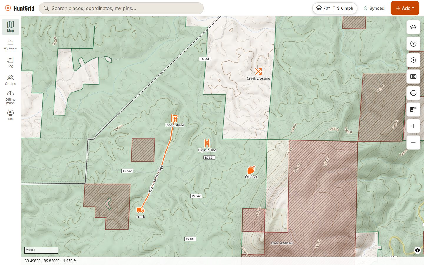
Waterfowl hunts rise and fall with the wind and the weather. HuntGrid shows the wind hour by hour, warns you when the pressure drops, puts refuges and closed areas on the map and shows nearby water levels, on a map that works in the marsh with no signal.
Map data © OpenStreetMap contributors, © OpenMapTiles; terrain: Copernicus WorldDEM-30 (credits)
How waterfowlers use HuntGrid
Read the weather, then pick the water
The right spot on the wrong wind is the wrong spot. These tools help you decide where to set up before you load the boat.
Wind for your blind
Wind and gust maps with a forecast-time bar show the wind for each hour of your morning, so you can set the blind and spread with birds landing into the wind in front of you.
Fronts and pressure
Radar, hourly forecasts, official alerts and the nearest weather station's pressure trend. Turn on an alert for when the pressure drops.
Refuges and closed areas
National wildlife refuge hunt units in the US and migratory bird sanctuaries in Canada, with closed areas shown as closed and the source beside each.
Water levels
River and lake gauges from US and Canadian agencies with the latest level or flow and a 7-day chart, to see whether a marsh or river is rising or dropping.
Flyways
The Wildlife layer shows the waterfowl flyways, with links to eBird, BirdCast and Ducks Unlimited's migration map for current reports. Never live bird positions.
Sunrise and legal light
Sunrise and sunset for the exact marsh. Waterfowl seasons often have their own shooting hours; HuntGrid shows a season's own rule once a person has checked it.
Map data © OpenStreetMap contributors, © OpenMapTiles; terrain: Copernicus WorldDEM-30 (credits)
Blinds and boats
Your spots, ready in the dark
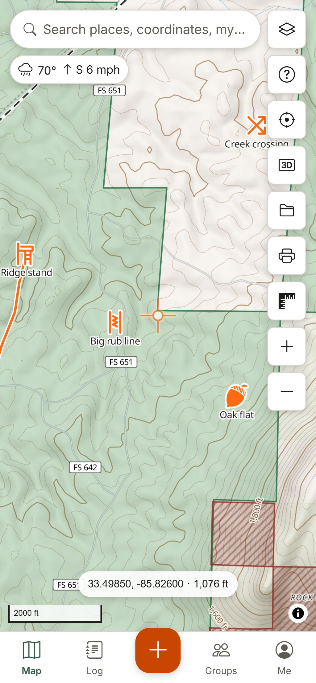
- Mark duck blinds, layout blinds, pit blinds, boat launches and parking with their own icons.
- Use Go to to reach your blind before shooting time, with distance and bearing on screen.
- The red night screen keeps your eyes adjusted on the walk or the boat ride in.
- Log the birds you see and your harvest in a few taps; HuntGrid records the weather with each entry.
- Share the blind map with your crew in a group, and check in when you head back.
Your first waterfowl hunt with HuntGrid
Find water you can hunt
Turn on the land layers to see public land, refuge hunt units and closed areas, then scout marshes, potholes and field edges on satellite imagery.
Watch the weather
Follow the forecast, radar and pressure trend through the week, and turn on pressure and wind alerts for your saved spots.
Set up for the wind
Check the hourly wind for your morning and choose the blind that puts the wind at your back or quartering.
Download and go
Download the area so the map, your blinds and the forecast work on the water, then use Go to in the dark.
Hunt and log
Start a hunt for Hunt Mode, watch the sunrise time, and log your birds as the morning goes.
Waterfowl seasons, bag limits, shooting hours, shot types and permit or stamp requirements are set by federal and state or provincial rules and change every year. The official regulations always have the final word.
Questions
Still have a question? Read the help pages or email support@huntgrid.net.
What is the best app for duck hunting?
The one that helps you read the weather and find water you can hunt. HuntGrid puts hourly wind and gust maps, radar, pressure alerts, refuges and closed areas, water level gauges and flyways on one map that works offline. Every feature is in the free plan.
Which wind is best for duck hunting?
Ducks and geese land into the wind, so most hunters set the blind with the wind at their back or quartering and leave a landing hole in the spread in front of them. HuntGrid shows the forecast wind for each hour of your morning; check it again on site, because it can shift.
Does HuntGrid show waterfowl refuges and closed areas?
Yes. National wildlife refuge hunt units in the US and migratory bird sanctuaries in Canada are on the map, with closed areas shown as closed and the source beside each. Boundaries and rules can change during the season, so check the posted signs and the official regulations.
Can I get an alert before a cold front?
HuntGrid doesn't name fronts, but it can alert you when the pressure drops, when the wind is right for a saved blind, and when an official severe weather warning covers your spots. The forecast and radar show what is coming.
Does it show water levels?
Yes. The Water levels layer shows river and lake gauges from US and Canadian agencies with the latest level or flow and a 7-day chart, so you can see whether the water is rising or dropping.
Does HuntGrid show live duck migration?
No. It shows the waterfowl flyways and links to eBird, BirdCast and Ducks Unlimited's migration map for current reports. HuntGrid never shows where wild animals are right now.
Your next hunt starts on the map
Create a free account, download your area and head out. No credit card, no per-state fees.
Already have an account? Sign in