 HuntGrid
Access
Can I fish here? Public access in plain words
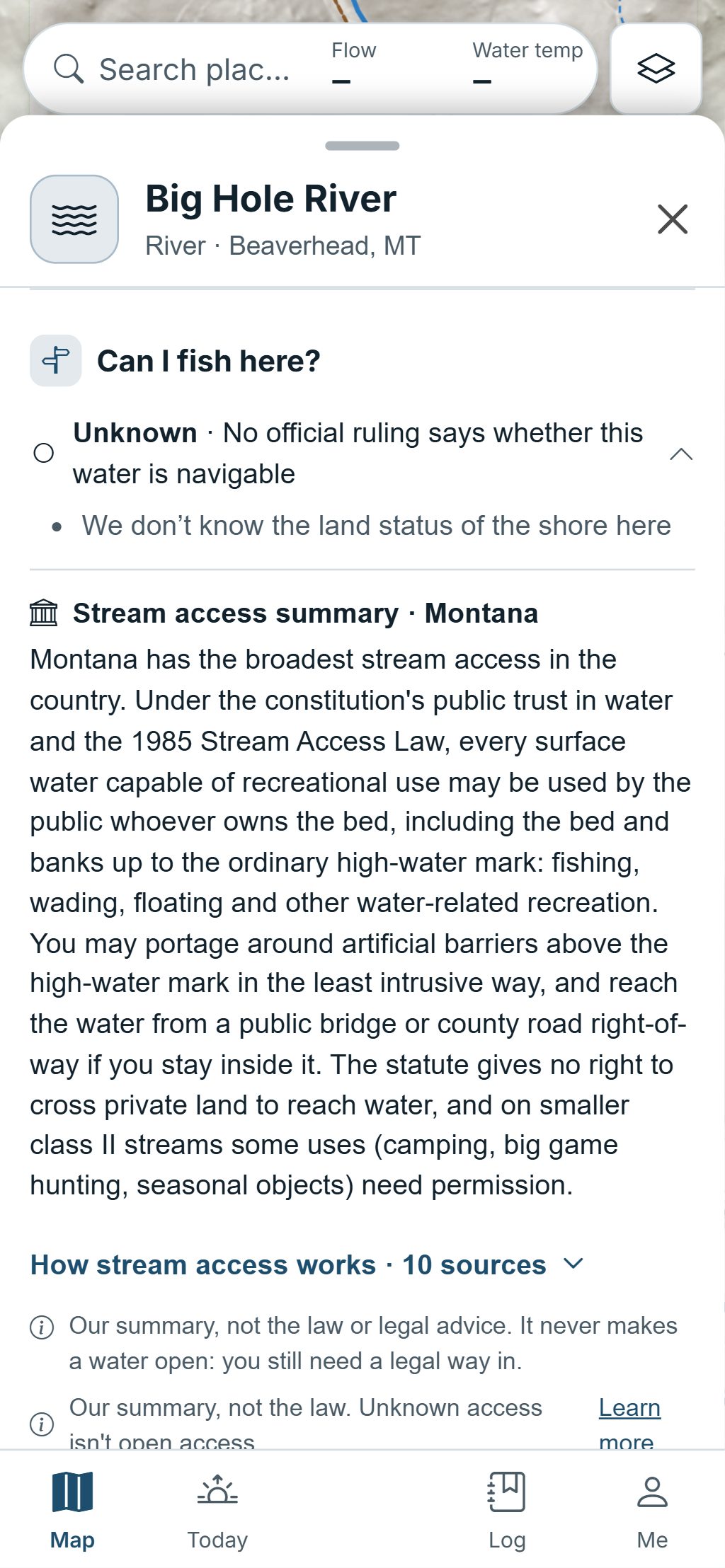
Tap a lake or a river. The Water card starts with a verdict on public access, the nearest public access with its distance and direction, and the access law of that state or province in plain words, each with its source. When we don’t know, it says Unknown.
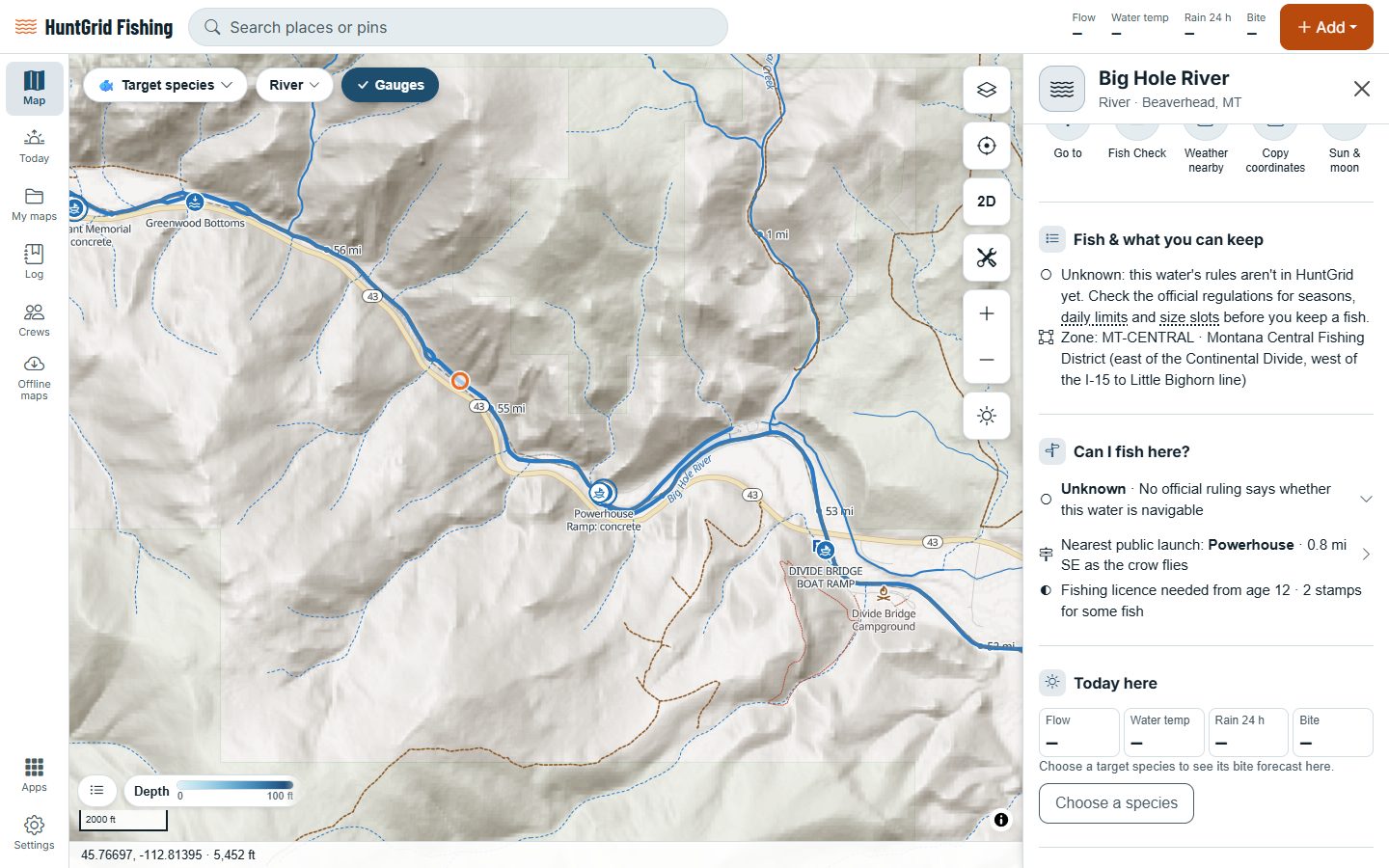
Map data © OpenStreetMap contributors, © OpenMapTiles; terrain: Copernicus WorldDEM-30 (credits)
Five honest answers
Every verdict shows its reasons. Water is never shown as open just because nothing says it’s closed.
Public access
A public launch, pier, fishing easement or public shore is within reach, from an official or open source.
Public water via private land: ask
The water is public, but the way to it crosses private land: ask the owner first.
Private water
The law of that place treats the water or its bed as private.
Closed
A closure covers this water, with its source.
Unknown
No source we have answers the question, so the card says so instead of guessing.
Map data © OpenStreetMap contributors, © OpenMapTiles; terrain: Copernicus WorldDEM-30 (credits)
On the map
Launches, easements and walk-in waters
The Access layers show where you can get on the water, with filters for what you need.
- Public boat launches by type, fishing piers, shore fishing and carry-in access.
- Public fishing easements and walk-in fishing waters where states publish them, with the rule for using them in our own words.
- Filters for accessible sites, free sites and concrete ramps.
- Stream access summaries: how the law there treats wading, floating and the streambed, in our own words with citations. A summary nobody has checked yet says so.
- Launch details: ramp type, lanes, docks, parking, fees, hours and accessibility, with Back to launch.
- Anglers’ reports of a closed launch, a locked gate or low water, with their age. They expire on their own.
- Reach from shore: public shoreline coloured by how deep the water is within casting range.
HuntGrid is a guide, not the law: signs on the ground and the official rules always have the final word.
Questions
Still have a question? Read the HuntGrid Fishing help pages or email support@huntgrid.net.
How does HuntGrid know if I can fish somewhere?
It weighs the land along the shore, official access sites and easements, the stream access law and closures, each from an official or open source. The Water card shows the verdict with its reasons and sources.
Why does it say Unknown?
Because none of our sources answers the question for that spot. Unknown beats a wrong answer: look for signs and check with the agency or the landowner.
Which places have stream access summaries?
Summaries are added one state or province at a time, in alphabetical order. Each is written from the law in our own words and labelled as a draft until a person checks it. It’s a reference, not the law.
Does it work with no signal?
Yes. Download a lake or a stretch of river and its access layers and access summaries come with it, so the Water card still answers on the water.
Your next fishing trip starts on the map
Create a free account and open HuntGrid Fishing in your browser. The same account works for HuntGrid Hunt.
Already have an account? Sign in