 HuntGrid
Hunting app features
One hunting map for planning at home and hunting with no signal: land and units, wind and weather, the best stand for the next sit, seasons and legal light, your gear, your log and your group.
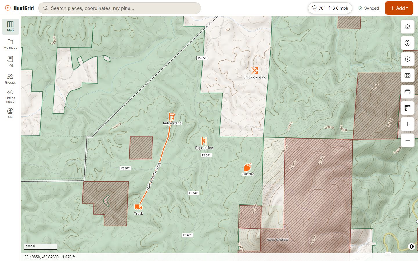
Map data © OpenStreetMap contributors, © OpenMapTiles; terrain: Copernicus WorldDEM-30 (credits)
What HuntGrid does
Offline hunting maps
Download topo, land, units, your pins and the forecast, and hunt where there’s no signal.
Public hunting land map
Public and Crown land, access programs, parcels and closed areas, with the rule and its source.
Hunting unit maps
GMU, WMU, DMU and zone lines on the map, and which unit you’re standing in, even offline.
Wind and scent
A scent cone hour by hour, wind arrows, thermals and a daily hunt score for every stand.
Hunting weather
Live station wind, official forecasts, radar, wind flow and alerts on the map.
Today: best stand for the wind
The next sit, its wind and weather, and your stands ranked by how well that wind fits each one.
Seasons and legal light
What’s open where you stand, a season calendar and a legal shooting hours countdown.
3D terrain and topo
Hillshade, contours, slope shading and 3D terrain to find saddles, benches and funnels.
Satellite and hybrid maps
Aerial imagery under your pins, land and units, with roads and names on top in Hybrid.
Trail cameras and hunt log
Import photos from any trail camera, log sightings and harvests, and see when game moves.
Gear checklists
Packing lists for each kind of hunt: tick them off, add your own, reset for the next trip.
Hunt as a group
Shared maps, check-ins, opt-in location sharing and a hunt plan that alerts your contacts.
Bring your pins
Import GPX, KML/KMZ, GeoJSON or CSV from other hunting apps and GPS units.
iPhone and Android app
Install it from the browser, use it offline, and keep one account on every device.
Your next hunt starts on the map
Create a free account, download your area and head out. No credit card, no per-state fees.
Already have an account? Sign in