 HuntGrid
Routing
Routing on trails, portages and lakes
Turn on Follow trails and tap your stops: the route between them follows trails and portages, hops across lakes in a straight paddle line, and comes back as legs of each mode with the stops where the mode changes. Each leg keeps where its line comes from.
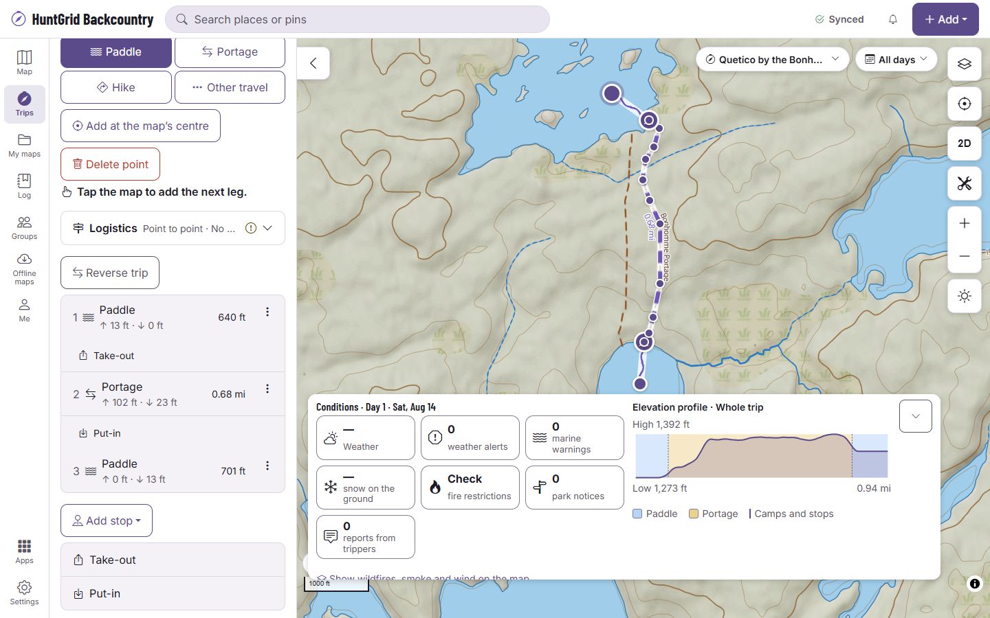
Map data © OpenStreetMap contributors, © OpenMapTiles; terrain: Copernicus WorldDEM-30 (credits)
Official data first, labelled when it isn’t
Routes favour time, not distance: each piece is timed with your pace, your boat and your carry style.
Trails and portages
Official trails and portages come first. OpenStreetMap fills only what official data lacks, and every leg names its source.
Unverified sources stay off
Sources we haven’t verified are left out unless you turn them on for the trip, and a leg that uses one says “Unverified source: check locally”.
Lake crossings
A crossing is a straight paddle line between landings on the same lake. One that would cross land isn’t offered: the route says why and offers to draw it instead.
Your limits, your alternatives
Avoid portages or crossings longer than a length you set, or prefer official trails, then pick from up to three routes: the fastest, the fewest portages and the least climb.
The drive in
A drive leg can follow forest and logging roads, with the road statuses the agencies publish, and “Check road conditions” with the agency.
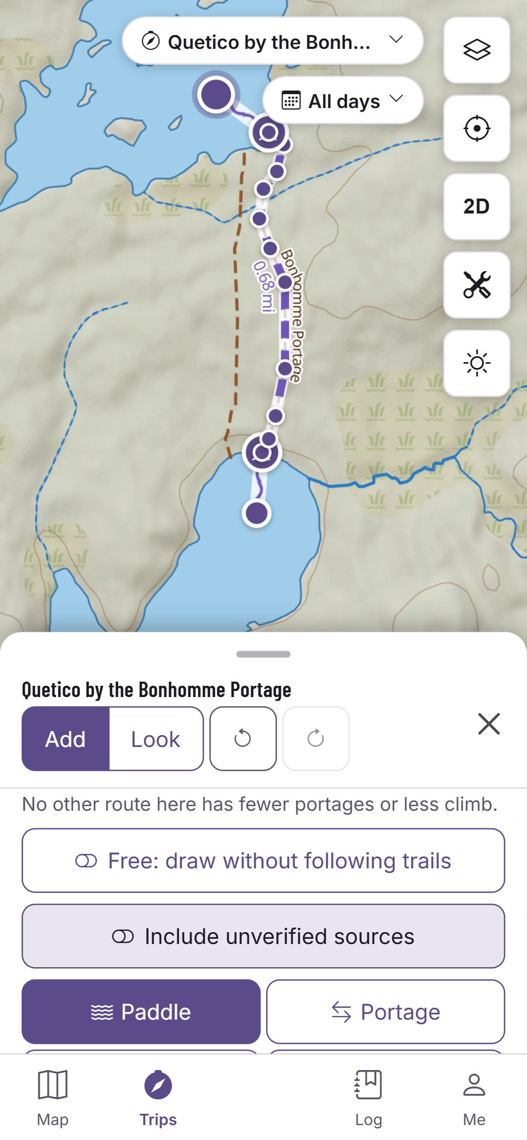
Map data © OpenStreetMap contributors, © OpenMapTiles; terrain: Copernicus WorldDEM-30 (credits)
On the trip
Re-route from the pack
The trip pack carries the trail and portage network along your route, so a new route can be worked out on the phone with no signal.
- Drag a routed leg to send it through another point. Undo is one step.
- Each alternative shows its time range, its portages and its climb.
- Import a GPX track and it’s matched to the trails and portages, with the kilometres matched and drawn.
- Wind and waves aren’t part of the route: they stay facts on the leg’s card.
A route is a line on our data, not a promise the way is passable. Official park maps, rules and signs control.
Questions
Still have a question? Read the HuntGrid Backcountry help pages or email support@huntgrid.net.
Does it route along rivers?
No. A river leg follows the river with the river tool, and the route says so when it needs one.
What if there’s no trail?
The route says why it couldn’t find one and offers Draw it instead, so you can draw the leg yourself.
Is it free?
Yes. Everything on this page is in the free plan, with no credit card. HuntGrid Backcountry is in open beta, and there are no ads.
Your next trip starts on the map
Create a free account and open HuntGrid Backcountry in your browser. The same account works for every HuntGrid app.
Already have an account? Sign in