 HuntGrid
Log and recap
Your trip log, recap and export
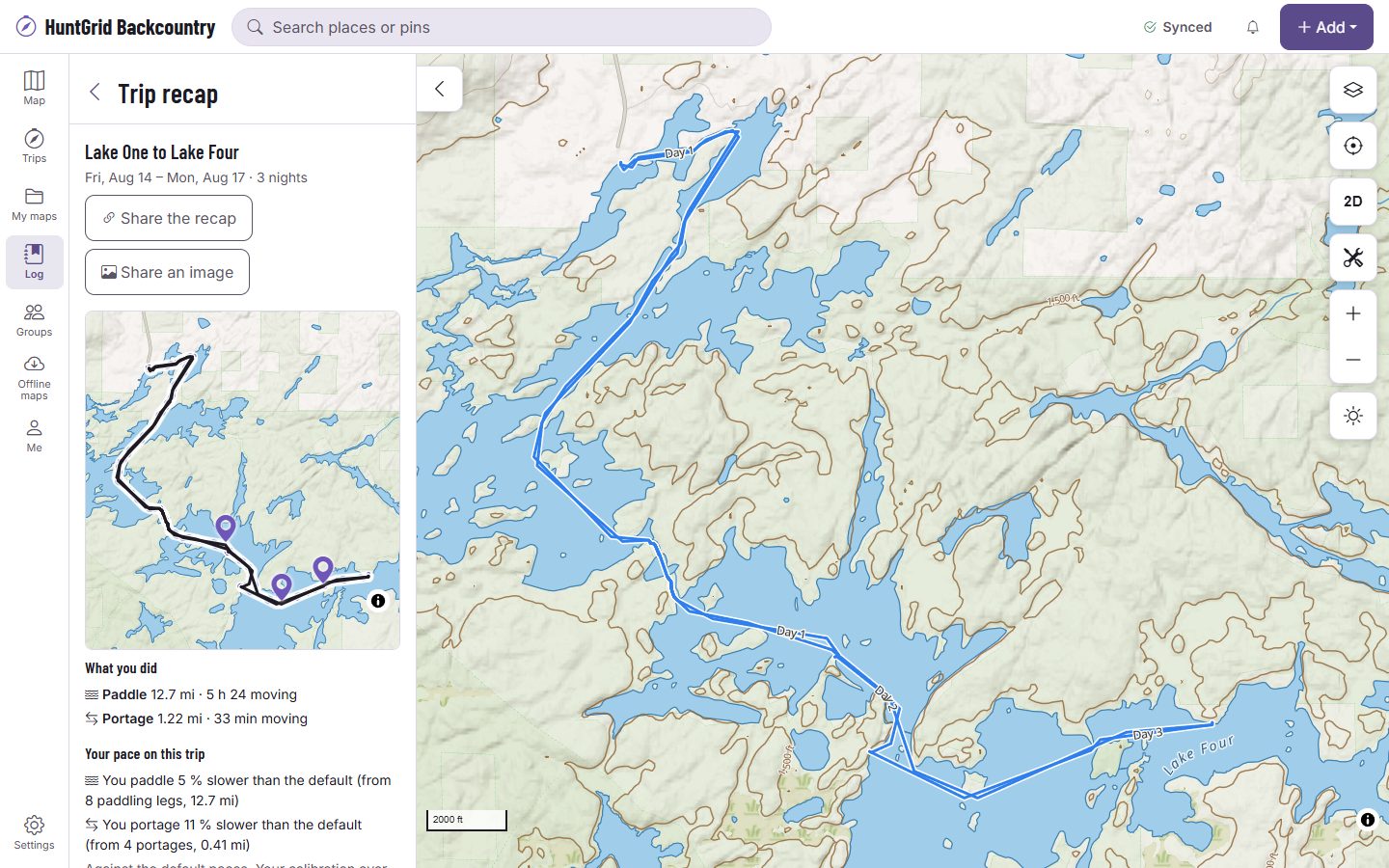
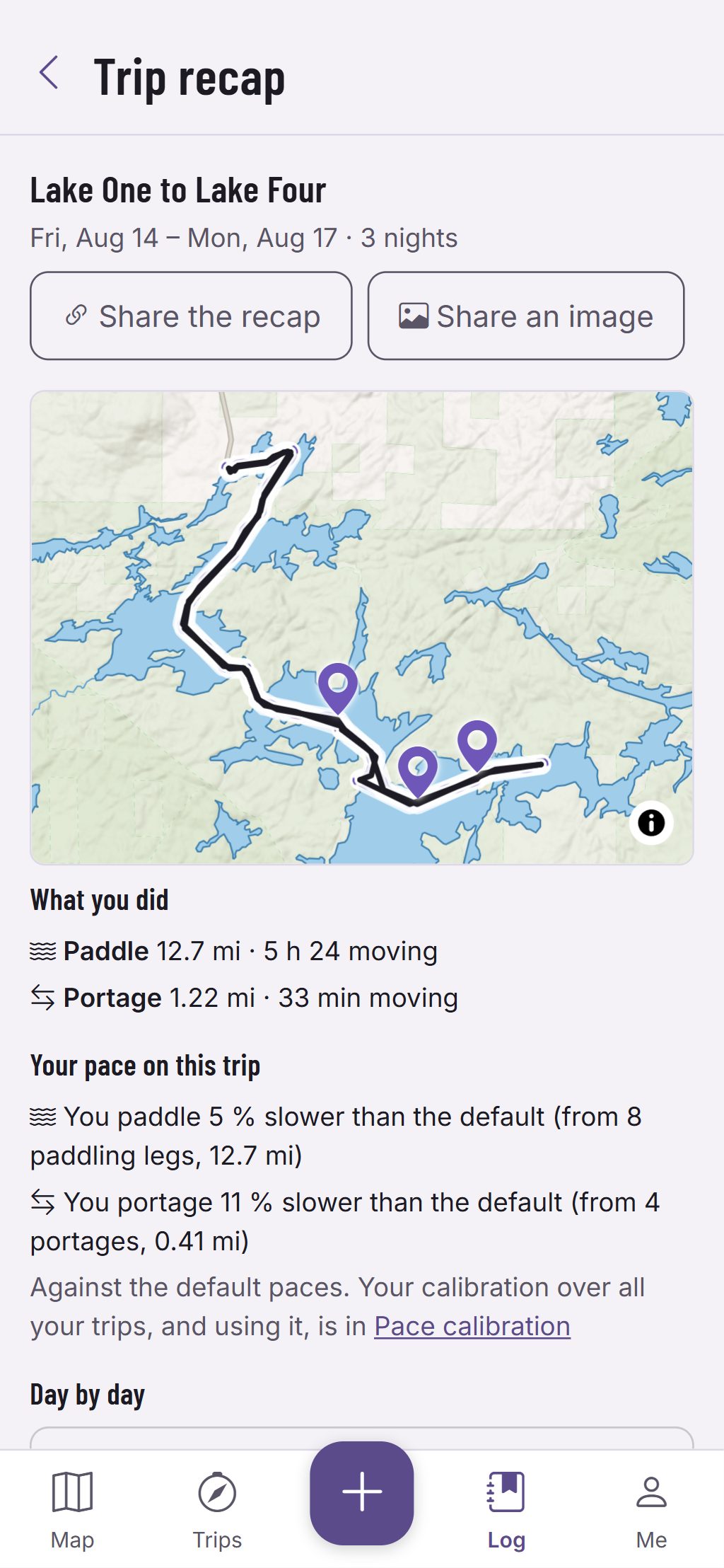
After the trip, its recap puts the planned legs and your recorded track on one map, then goes day by day: kilometres paddled, portaged and hiked, moving time beside the planned range, the camps, your notes, photos, clip marks and catches in time order.
Map data © OpenStreetMap contributors, © OpenMapTiles; terrain: Copernicus WorldDEM-30 (credits)
What happened, kept with the plan
A journal by day
Notes for each day, and notes pinned to a spot on the day’s map.
Photos and clip marks
Add photos and each is placed by its own position, else by its time on your track, else left for you to drop on the map. In Trip Mode, Mark a clip notes the time and spot of a video on your camera.
Your pace, measured
The log compares your recorded times with the planner’s, by mode, and says how many legs it’s from. Use this sets your pace from it, only when you tap it.
Plan again and season stats
Start a new trip from a past one, with the camps you actually reached, and see the season’s trips, nights, kilometres by mode and portages.
Map data © OpenStreetMap contributors, © OpenMapTiles; terrain: Copernicus WorldDEM-30 (credits)
Share and export
Share what you choose
Share a recap image or a link at the level you pick: the route with its ends trimmed off, rounded to about a kilometre, or exact. Your journal’s words are never shared.
- Export the plan, the recorded track or both as GPX or KML, with each source’s credit.
- Print the itinerary as a PDF: a page per day with its map, camp and exits, and an emergency page.
- Booking numbers print only when you tick them.
Estimates for planning, not promises. Official park maps, rules and signs control.
Questions
Still have a question? Read the HuntGrid Backcountry help pages or email support@huntgrid.net.
Does it upload my photos?
Only the ones you pick, and a shared recap uses a copy with the location data removed.
Does the recap work offline?
Yes. It’s built on the phone from your trip and its pack.
Is it free?
Yes. Everything on this page is in the free plan, with no credit card. HuntGrid Backcountry is in open beta, and there are no ads.
Your next trip starts on the map
Create a free account and open HuntGrid Backcountry in your browser. The same account works for every HuntGrid app.
Already have an account? Sign in