 HuntGrid
Snowmobiles
The snowmobile trail map that says what it doesn’t know
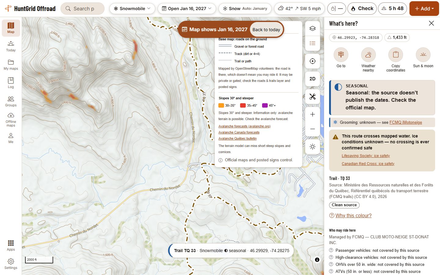
Turn on the winter map and HuntGrid Offroad brings out each snowmobile trail by what its official source says for snowmobiles on the day you ride. What it can’t know, like grooming without a federation’s reports or the ice on a lake, it says it doesn’t know.
Map data © OpenStreetMap contributors, © OpenMapTiles; terrain: Copernicus WorldDEM-30 (credits)
How it works
Tell it what you ride
Answer “What do you ride?”: a snowmobile, no make or model needed. It keeps your machine in a garage that syncs to all your devices.
See the map for your machine
Each road and trail is coloured by what its official source says for your machine: open, seasonal, limited, closed or unknown.
On the day you ride
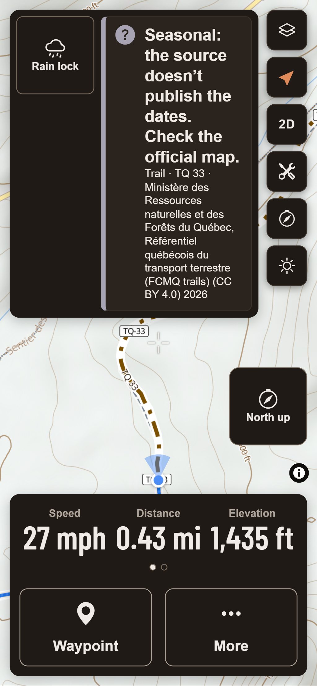
Set the map to today, this weekend or any date, and seasonal routes follow it. Tap a route for its rule, its dates and its source.
Map data © OpenStreetMap contributors, © OpenMapTiles; terrain: Copernicus WorldDEM-30 (credits)
The winter map
Snowmobile trails first, all winter
In winter the map brings snowmobile trails forward and steps the rest back. Tap a trail for its rule, its dates and its source.
- Grooming shows only where a snowmobile federation has agreed to share its reports, with their time and source. Everywhere else it says grooming is unknown and points to the federation’s own map where we know it.
- A snow estimate along a route, from nearby stations and the weather model, with its date. It needs a connection: offline, it says so instead of showing an old figure.
- In a national forest with a listed over-snow vehicle use map, the card links to it: that map is the official word.
- Mitten mode in Ride Mode makes the buttons bigger and spaces them out.
Official maps and posted signs control.
Ice and steep slopes
Every crossing of mapped water
A route, track or plan that crosses mapped water carries the same warning, all year: “Ice conditions unknown — no crossing is ever confirmed safe.” Those parts are never drawn as open.
Slopes of 30° and steeper
The winter map can shade slopes of 30° and steeper, as information only: “Avalanche terrain possible — check the avalanche forecast”, with links to avalanche.org and Avalanche Canada. The terrain model can miss short steep slopes and cornices.
Questions
Still have a question? Read the HuntGrid Offroad help pages or email support@huntgrid.net.
Is the snowmobile trail map free?
Yes. Everything on this page is in the free plan, with no credit card. HuntGrid Offroad is in open beta, and there are never ads on the map or in Ride Mode.
Does it check lake ice?
No. It never rates ice. Every crossing of mapped water shows “Ice conditions unknown — no crossing is ever confirmed safe.” Check local ice reports and official guidance.
Is a green trail a promise I can ride it?
No. It’s what the official data says for your machine on that date. Where no official source covers a route, it shows as unknown rather than a guess. Official maps and posted signs control, and closures can happen at any time.
Your next ride starts on the map
Create a free account and open HuntGrid Offroad in your browser. The same account works for every HuntGrid app.
Already have an account? Sign in