 HuntGrid
4x4s, Jeeps and overland rigs
The 4x4 and overland map that reads the official rules
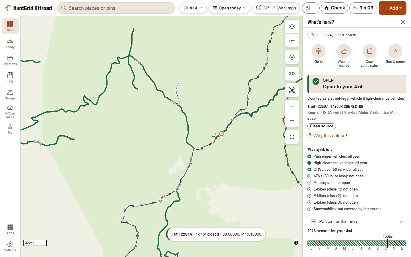
Save your truck, Jeep or overland van and HuntGrid Offroad shows each road by what its official source says for highway-legal and high-clearance vehicles on the day you drive. From official data, with the source on every road.
Map data © OpenStreetMap contributors, © OpenMapTiles; terrain: Copernicus WorldDEM-30 (credits)
How it works
Tell it what you ride
Answer “What do you ride?”: a 4x4 truck, Jeep or overland van, no make or model needed. It keeps your machine in a garage that syncs to all your devices.
See the map for your machine
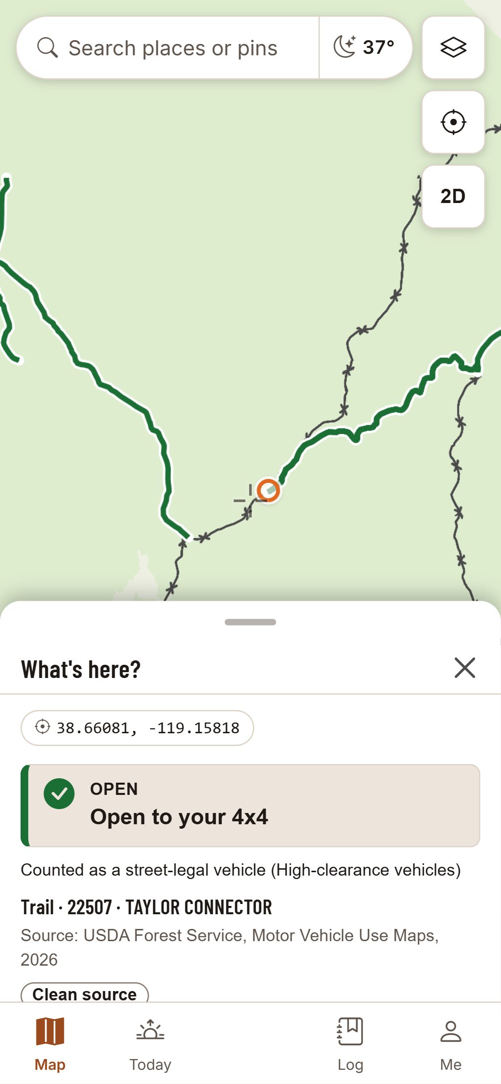
Each road and trail is coloured by what its official source says for your machine: open, seasonal, limited, closed or unknown.
On the day you ride
Set the map to today, this weekend or any date, and seasonal routes follow it. Tap a route for its rule, its dates and its source.
Map data © OpenStreetMap contributors, © OpenMapTiles; terrain: Copernicus WorldDEM-30 (credits)
Road rules, not ATV rules
Judged as the highway-legal vehicle it is
A 4x4 is judged by the rules for passenger and high-clearance vehicles. On the US Forest Service’s Motor Vehicle Use Maps, that means the roads open to highway-legal vehicles and the roads for high-clearance vehicles. Trails “for vehicles 50 inches or less in width” are not open to it.
- Seasonal roads follow the date you set, so a forest road that opens in spring shows as open only from its first day.
- Enter your payload from the manufacturer’s figure, and a weighed packing list shows about what share of it you’ve loaded: an estimate from your own numbers.
Official maps and posted signs control.
Questions
Still have a question? Read the HuntGrid Offroad help pages or email support@huntgrid.net.
Is the 4x4 map free?
Yes. Everything on this page is in the free plan, with no credit card. HuntGrid Offroad is in open beta, and there are never ads on the map or in Ride Mode.
Does it show Forest Service roads for high-clearance vehicles?
Yes. Where a Motor Vehicle Use Map marks a road for high-clearance vehicles or open to highway-legal vehicles, the map shows it for your 4x4 with its dates and source. Where no official source covers a road, it shows as unknown.
Is a green trail a promise I can ride it?
No. It’s what the official data says for your machine on that date. Where no official source covers a route, it shows as unknown rather than a guess. Official maps and posted signs control, and closures can happen at any time.
Your next ride starts on the map
Create a free account and open HuntGrid Offroad in your browser. The same account works for every HuntGrid app.
Already have an account? Sign in