 HuntGrid
Guide · Ontario
The best hunting app for Ontario
Most of Ontario is Crown land, and most of it has no cell service. A good Ontario hunting app shows where Crown land is, which WMU you’re in and what’s closed, and keeps working when the bars run out. HuntGrid does all three, free.
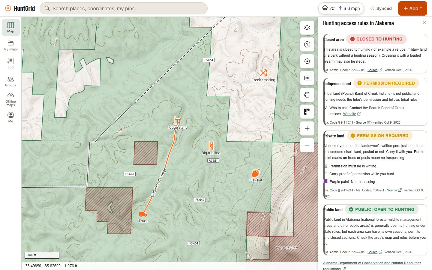
Map data © OpenStreetMap contributors, © OpenMapTiles; terrain: Copernicus WorldDEM-30 (credits)
What a hunting app needs in Ontario
What Ontario hunters ask for most, and how HuntGrid answers it.
Unpatented Crown land
Ontario’s unpatented Crown land from the province’s open data, with provincial parks, conservation reserves and other protected areas on top.
WMU boundaries
Every Wildlife Management Unit on the map, so you always know which WMU you’re in, offline too.
Ontario air photos
The province’s own aerial imagery under your pins and land layers, for finding cut-overs, beaver ponds and old roads.
Who to ask
Where land may need permission, the card links to Ontario’s land registry so you can look up the owner.
Also on the map
Works with no signal
Most hunting country in Canada has no cell service. Download your areas with topo, land, your pins and the forecast before you go.
Canadian weather
Environment Canada forecasts, live wind at weather stations, radar, alerts, wildfires, smoke and Canada’s fire danger rating.
Wind and scent
A scent cone from your stand hour by hour, and the best stand for today’s wind.
Free, one price for all of Canada
Every layer and tool is in the free plan, and there are never per-province fees.
Open the map
Find your spot in Ontario and turn on the land and unit layers.
Tap to check
Tap any spot for the land type, the rule where it’s been verified, and its source.
Download it
Save the area offline before you lose signal.
HuntGrid is a guide, not the law: the official hunting regulations of your province always have the final word. Ontario hunting map and regulations.
Questions
Still have a question? Read the help pages or email support@huntgrid.net.
Can I hunt on Crown land in Ontario?
Often, with the right licence, but not everywhere: provincial parks, conservation reserves, leases, closures and local by-laws change it. HuntGrid shows unpatented Crown land with protected areas on top; the Ontario hunting regulations have the final word.
Is HuntGrid free?
Yes. The free plan has every map layer and tool, with 3 offline areas, 100 MB for photos and voice notes and up to 3 groups of your own. Paid options planned for later will be one price for everywhere.
Does HuntGrid work in French?
Yes. The whole app, this site and every email are in English and Canadian French.
Is there an app in the App Store or Google Play?
Not yet. HuntGrid runs in the browser on iPhone, Android and computers and installs to your home screen from there.
Your next hunt starts on the map
Create a free account, download your area and head out. No credit card, no per-state fees.
Already have an account? Sign in